GREENKEEPER BLOG
Driving Progress: How the GreenKeeper Team is Advancing Turf Management
Just as turf managers worked tirelessly through another challenging summer, our team at GreenKeeper has also been busy. With the arrival of meteorological fall, it’s a perfect time to reflect on the progress we’ve made together—on the course, on the research plots,...
“Models are Wrong,” Yet Some are Incredibly Useful for Turf Management
All models are wrong, but some are useful. — British Statistician George E. P. BoxThis classic quote largely credited to statistician George Box perfectly sums up the challenge of decision-making in turfgrass management. It captures every superintendent’s daily...
Stop Guessing. Confidently Schedule Irrigation
Each day, turf managers face the critical task of scheduling irrigation to prevent wilt tomorrow—without over-watering tonight. But this decision depends on estimating how much soil moisture will be lost today, how much irrigation will replenish it, and how tomorrow’s...
Wetting Agents For Native Soils? Yes, Especially for Bentgrass
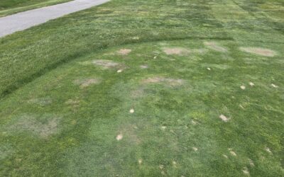
Most turf managers use soil surfactants - frequently called wetting agents - to improve soil water uniformity and increase irrigation efficiency on sand-based root zones. These types of soils can quickly develop issues of hydrophobicity where organic coatings of...
10 Ways GreenKeeper App Helps to Save Time, Save Money, and Make Smarter Turf Decisions
At GreenKeeper, our mission is to empower turf managers with smarter decision-making tools through cutting-edge research, online education at GreenKeeper University, and continuous enhancements to the GreenKeeper App. Whether you're a longtime user or it’s been a...
New Weather Tile Now Integrated with GreenKeeper wX Station
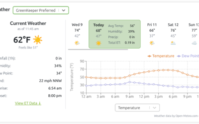
Turf managers work in the weather. From deciding what to wear to determining job assignments, weather conditions influence nearly every aspect of daily operations. Accurate weather data is also essential for safely timing chemical applications and managing play or...


