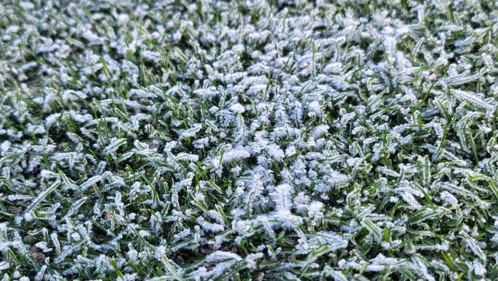
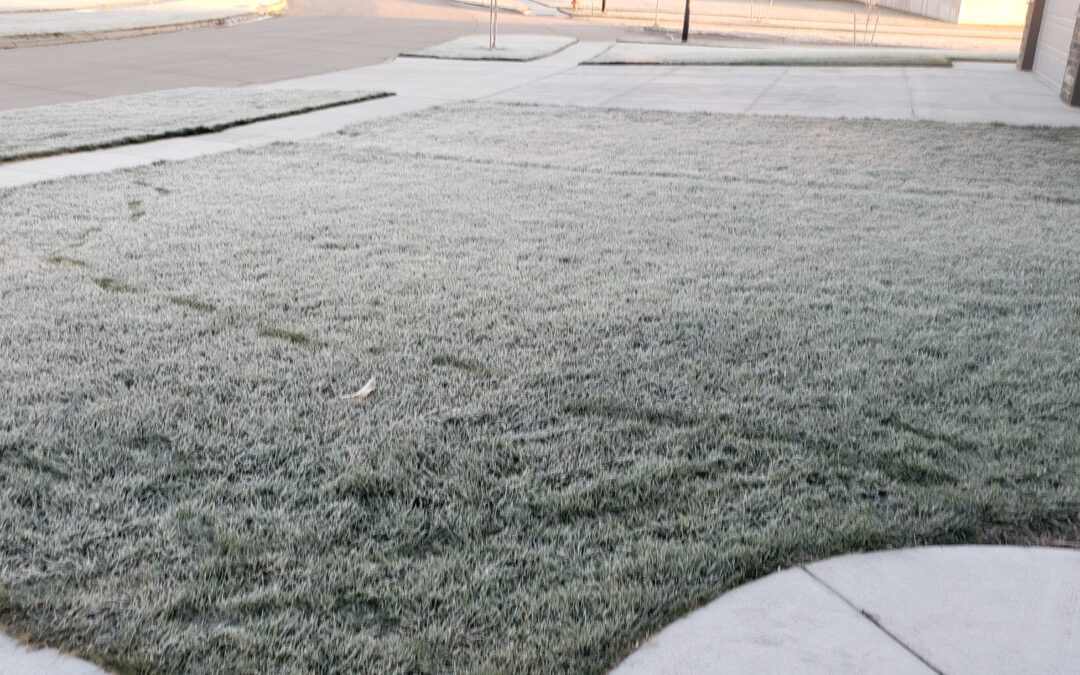
It can be so frustrating to scout a golf course for frost on a crisp fall morning. It’s 6AM and there is no frost on the course. Then the mowers get out and frost covers every blade of grass. How does this happen? The sun is starting to rise and then frost forms?!? You notify the pro shop, and they ask the inevitable and confusing question, “When will we be able to send golfers?” Frost formation and dissipation can be perplexing. Understanding how the basic processes that cause dew and frost to form can help you stay ahead of these tough judgement calls.
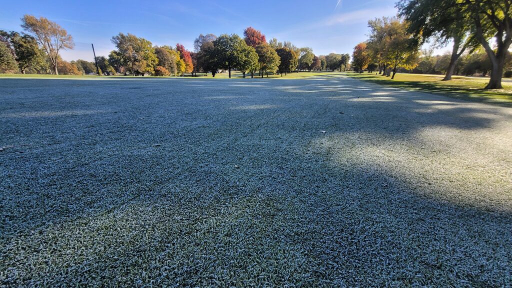
Where does dew & frost come from?
Frost and dew form at night and early morning because the grass leaves are constant emitting energy to the sky as long-wave or infrared radiation. There isn’t solar energy to replace this emitted radiation energy at night. This causes the leaf temperatures to cool. As the air cools, it’s ability to hold water vapor declines. This causes water vapor to appear as dew (condensation) or directly as frost (ice crystal deposition) on the turf leaves. Most of that water vapor comes from the relatively wet soil as it moves through the leaf canopy towards the drier atmosphere above. Dew and frost formation are greatest when soils are wet and the air is dry because there is a bigger gradient to drive the moisture upward through the grass canopy. Sometimes dew can turn into frost when the air and dew point start above freezing and then surface temperature drops below freezing during the night. A cold front can also turn dew to frost.
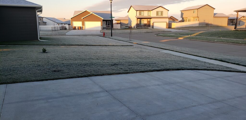
Why does frost form when the air temperature is above freezing?
This is a constant question that I receive from golfers during frost delays. The answer is again related to infrared radiation. At night, the cooling earth surface emits radiation (heat) into space. The sun isn’t there to replace the escaping radiation and the surface cools. Since cooler air is more dense than warm air, it remains close to the grass leaves. Temperatures reported from a local weather station or on a phone app are recorded several feet in the air. As a result, they will be warmer than the air at the surface. Eventually the air above the surface will cool to the dew point (above 32F) or frost point (at or below 32F) and dew or frost will form because the cooling air cannot hold as much water vapor. The processes of condensation and deposition does release (latent) heat back to the leaf. This will slow dew and frost formation initially, but eventually the leaf cooling will support dew or frost formation. Longer nighttime periods of late fall facilitate more leaf cooling because there is more time to lose energy.

frosty weather
Air temperature alone cannot be used to predict frost formation. For dew or frost to form, the temperature air and leaf temperature must fall to the dew/frost point. Dew point depression is the difference between the dew point and air temperature. The greater the dew point depression, the more cooling is needed to form dew or frost. Different weather & environmental factors affect the amount of cooling at night. Reviewing the hourly forecast can help predict when frost may form.
Factors influencing frost formation
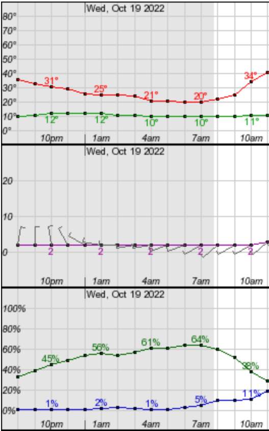
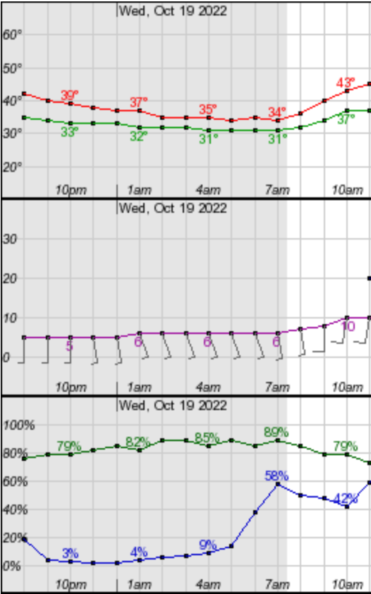
- Sky cover: Cloud cover acts as a blanket to help sustain air temperature through the night. Clouds can absorb and redirect radiation back towards the Earth’s surface. They also minimize the temperature difference between the surface and space which slows surface cooling at night. Simply point, clouds protect against frost the same way that a bed sheet can protect potted plants on frosty mornings.
- Dew Point and Dew Point Depression: The dew point – or frost point when it’s below 32F – is the air temperature where the air is completed saturated with water vapor. That is why the relative humidity is 100% when the temperature and dew point are the same. The air cannot hold any more water at that temperature. When the dew point depression is great at night, more cooling time is required to cool the air to the dew or frost point. For example, the low temperatures across much of the US Central Plains broke low temperature records on Oct. 18, 2022. No visible frost formed that morning. The air temperature fell from 50F to 16F that night, but it never reached frost point of 10F (dew point depression at 8am was +6F).
- Day length: Longer nights in early spring and late fall mean there is more time for the surface to dissipate heat (infrared radiation) into space. This provides a longer time for the air to cool to the dew/frost point. In the example above, a longer night period may have allowed for the air to continue to cool to the frost point. Frost would have likely formed on that cold, clear and calm night.
- Wind: The wind actually helps prevent frost because it helps mix warmer air from higher above the canopy with the colder air at the grass surface. If frost does form, it will typically be lighter on a windy night because drier air above is mixed with more humid air at the surface.
- Topography: Low areas will be the first to develop frost as the cooler and more dense air settles into those low-lying areas. Exposed and high areas will stay warmer with more mixing winds and higher elevation. Slopes facing away from the rising sun or shaded area also have the greatest chance of developing frost after sunrise because they will have a longer sunless period each night.
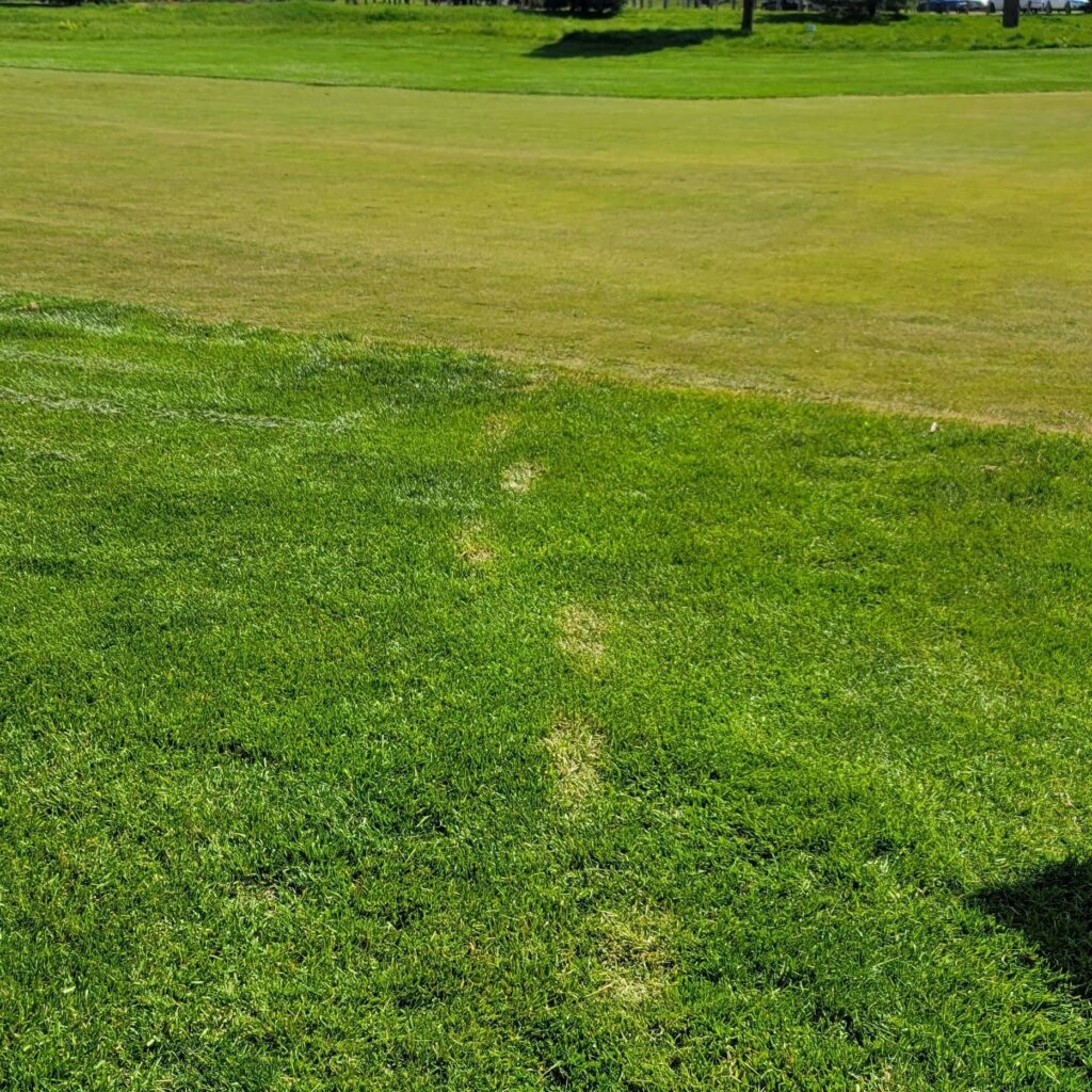
- Mowing height: Frost tends to be heavier on higher mowed turf. At Jim Ager GC in Lincoln, NE, it’s common to see more damage from dog walkers in the rough than golfers on fairways and greens. Sometimes dog walker will cut across a fairway to save steps. The rough will have clear damage and fairways are fine. This happens because the fairway turf is closer to the warm soil which is also radiating heat upwards and longer leaves cool off quicker during the night than short leaves in a dense canopy.
Pesky early morning frost
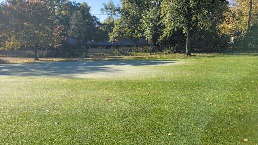
Back to the first question of this post. Why does frost seem to develop at or even after sunrise? This is the most frequent question I receive in my “Understanding Weather and Forecasting Tools” course in GreenKeeper University. Even though the sun is starting to rise, the surface and air temperatures continue to decline until the sun’s radiation input equals the infrared radiation output to space. That will occur after – not at – sunrise. This period of time also tends to have the lowest winds of the day. That little extra cooling on a day where your phone app reads air temperatures in the upper 30s Fahrenheit can make all the difference in the formation of a heavy frost at 7:30am.
Golfers may say their phone app shows the air is above freezing an hour after sunrise. That doesn’t mean the frost is gone. Even if the air temperature rise into the 40s Fahrenheit, air is a poor conductor of heat. It will be slow to melt the frost into dew, especially if the surface leaves are still cold. And it takes additional energy to change ice back into water (called latent heat). Irrigation can sometimes help melt frost, but it can make things worse if the surface is still well below freezing. Usually the best cure for a frost is direct radiation from the sun to quickly heat the grass leaves. Until then, use caution in shaded and low areas.
frosty turf
Does frost even matter or is it just superficial pain in the butt? Dr. Micah Woods has been sharing information about Japanese courses that play through frost (Article 1, Article 2). Maybe that makes sense in certain situations, especially when they can have big impacts on a course’s bottom line. On the flip-side, I’ve caused lasting damage to turf with a maintenance cart or mower crossing turf that seemed to have a light frost Sometimes the damage is gone in a few days, but I’ve also had it last a couple weeks. Regardless of your position on frost delays, I hope that this article helped to demystify what causes frustrating frost formation in the spring and fall.
