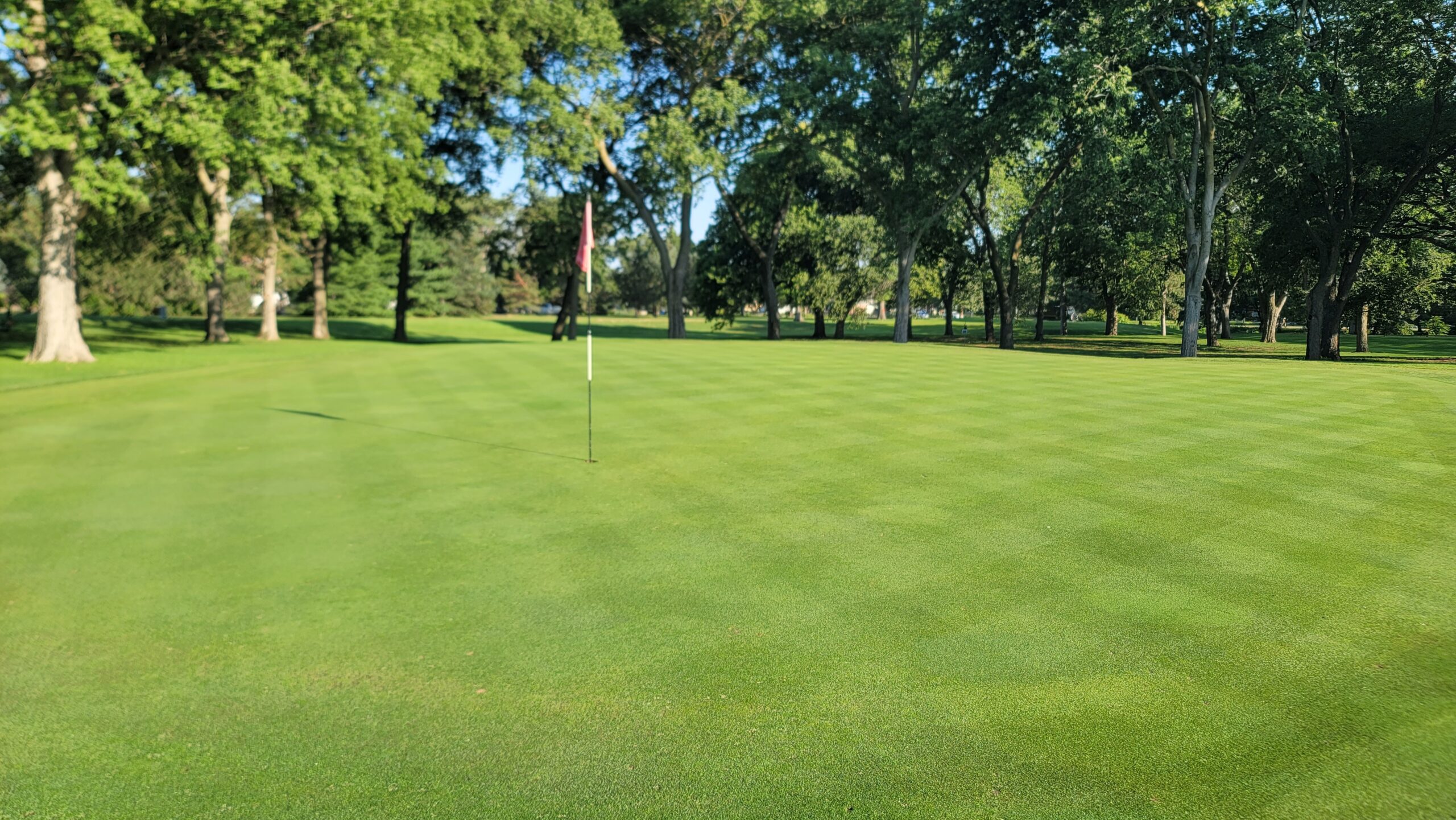
Turfgrass sprayer systems with GPS guidance can do more than reduce over-spray. These high tech platforms can be used to precisely target specific pests on your course or fields. The mapping software within GreenKeeper CIS makes it easy for users to map pest locations, create prescription application maps, and provide mixing guidance. And these prescription maps are compatible with all GPS sprayer systems within the turf industry. In August 2023, we used GreenKeeper CIS to save 92% on a Pythium root rot application with limited effort.
Case Study: Targeting Pythium
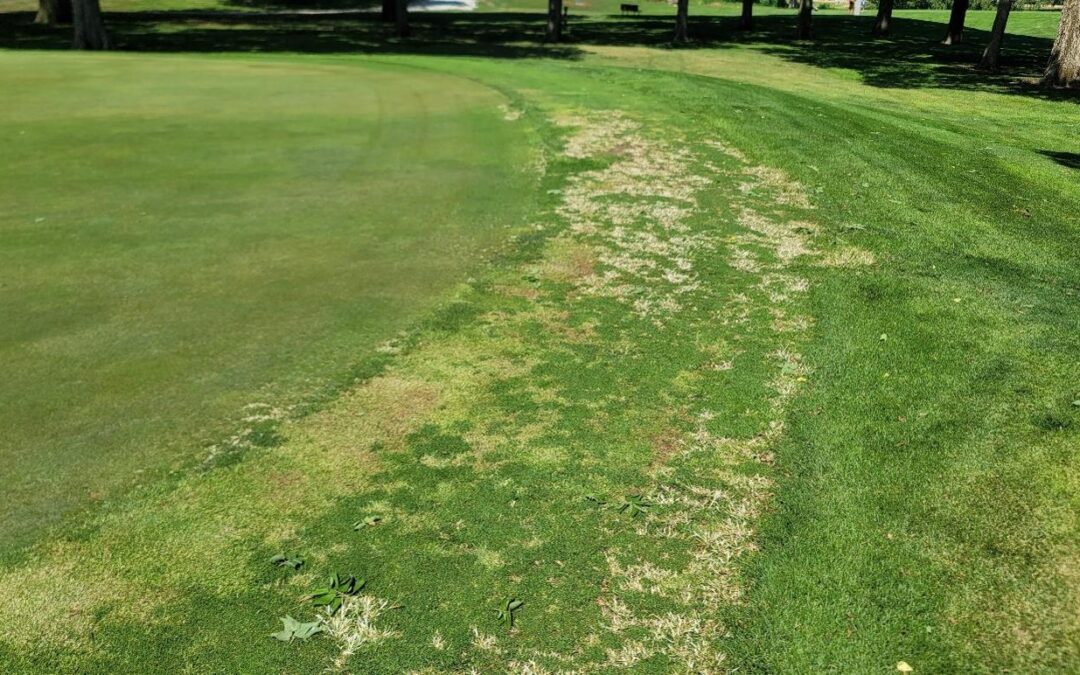
Pythium root rot is a troublesome and perennial pest at Jim Ager Golf Course. There is a buried organic matter layer that creates an ideal environment to support this pest. In addition to good cultural practices and irrigation management, preventative applications of plant protectants are required to sustain a healthy stand of turf.
In August of 2023, environmental conditions were favorable for Pythium root rot to cause significant damage. Symptoms were starting to become visible on isolated locations across several greens. We had a few options:
- Wait ten days until the next scheduled fungicide application and risk losing turf to save some money.
- Make an additional “wall-to-wall” application to greens and collars. This 100,000 square foot (9,000 square meter) application would cost $1,250 in product. It would also need to wait until that night for the products to be watered-in with overhead irrigation.
- Map the weak-looking areas in GreenKeeper CIS and spot treat those areas ahead of the upcoming scheduled application.
GreenKeeper CIS was in beta-testing at that time, and it offered us a great way to evaluate its capabilities.
The screen-cast video above shows how CIS users can map pests locations on their computer. Then those different areas can then be selected and grouped together to create one shapefile cluster – prescription map – that any GPS sprayer system can import and read. It also shows how many square feet will be treated within that prescription map. Pests can also be mapped in the field with a phone. Below is an early version of CIS where we mapped goose and crabgrass locations on the 9th green at Ager GC. This allowed us to target those specific pest locations with a herbicide that can also by phytotoxic to the bentgrass greens and collars.
Notice how the user’s approximate location is displayed on the CIS base map. This helps provide location context when mapping pests. Users can also take pictures of pests and link them to specific locations.
I was able to map the weak-looking areas where I suspected Pythium root rot was starting to cause issues as I mowed each green. I would hop off the triplex mower, pull out my phone to map the locations, and then reset the flagstick in the cup. After mowing the ten greens, I pulled out my phone to select the newly mapped pest locations and I created a prescription map for the Frost VRT sprayer.
92% Product Savings!
After grouping the various locations together, GreenKeeper CIS showed 6,324 square feet of turf required treatment. It was far less than the 100,000 square feet for a wall-to-wall application. We decided to mix up a fungicide and wetting agent to treatment for 8,000 square feet (740 square meters) to allow boom priming and over-spray. This represented a 92% reduction in product use! That is a 92% reduction in cost (plus the labor savings when spot treating), and a 92% reduction in product entering the environment. The small footprint also meant that we could spray immediately instead of waiting that night. We just hand-watered the treated areas with a hose and didn’t need to run the overhead irrigation heads following the application.
The most important end result was the improved turf health. The fungicide with wetting agent and the immediate watering-in of the products resulted in excellent control. Within a short time, the areas started to recover as the cooler fall nights eased the chronic temperature stress.

Beyond Locating Pests
GreenKeeper CIS users can do more than map pests. The software allows users to import and edit course boundaries, crop areas like greens or bunkers from fairways, and create prescription spray maps. These Rx maps are compatible with all GPS-sprayer types in the turf market. We have also created an instruction sheet for users to reference when importing and exporting maps on the different sprayer platforms.

The development team at GreenKeeper is also working to integrate sensor data from mower-mounted crop sensors into GreenKeeper’s mapping capability. These sensors help to identify and locate different stress on large areas like fairways or ball fields. The team is also working to connect our Performance Tracker and Water Resource Models to the CIS display. This will help schedule irrigation on specific holes. The existing machine-learning technology called GreenKeeper Insight will “learn” how different turf areas use water as more data is entered into the system. Finally, CIS customers that purchase our new GreenKeeper Weather Stations and Rain Bucket Satellites will have their annual mobile data/API subscription covered within their CIS subscription.
Maximize the capabilities of your GPS-equipped sprayer with GreenKeeper CIS. Learn more about CIS and upgrade your GreenKeeper Subscription today. You’ll receive free training with your upgrade.

